White-breasted nuthatch Sitta carolinensis Courtesy US FWS David Brenzinski, PhotographerInverted woodpecker, a phrase I use to describe the feeding habits of the amazing nut hatch family. I first became aware of this lovely little songbird growing up in Michigan, where the white-breasted nut hatch was common fare in the north woods. Their little laughing notes were most welcome as I sat on my deer stand where I would watch them search bark crevices for yummy morsels of grubs, insect eggs or seeds they had wedged in for tomorrow’s snack.
Red Breasted Nuthatch Courtesy US FWS Dave Menke, PhotographerNow having lived many years in Utah, it is the red-breasted nut hatch that has replaced this eastern cousin for the most part. Their “yank, yank, yank” vocalizations light up my life whenever and wherever they occur. They prefer conifers but will gladly substitute a deciduous tree, especially those with more furrowed bark. Where there is food or water, infrequently a white-breasted will appear, especially in our higher elevations, although I’ve had them join the red-breasted at our feeder during winter months – a rare treat.
Pygmy nuthatch Sitta pygmaea Courtesy US FWS Lee Karney, PhotographerIf one spends much time in our Ponderosa pine forests in central and southern Utah, another family member can be found. Unlike the other two more solitary species, these tiny pygmies occur in small flocks and are very chatty. Highly social, the pygmy nut hatch appear to enjoy a food frolic as they fly from tree to tree for feeding and social interaction. Thus, Utah’s blessed with all three North American species of nut hatch.
If you observe them as they search the main stem of a tree, my inverted woodpecker title will be justified. Rather than moving from top to bottom of the tree facing up as do the woodpeckers, the nut hatch prefers head down from top to bottom. They also like hanging upside down on a horizontal limb. Why? Evolution keeps us mysteries well-guarded. I conjecture partitioning might be part of the answer: a phenomenon where bird species will utilize different parts of the tree to avoid competing for resources with other species.
As with all of life, I pay attention to how our shifting climate has been observed or predicted to affect their populations and distribution. As long as there are conifers breeding season, nut hatches are content. They can be found in dry Ponderosa pine foothills, in moist boreal bogs, around tree line in the mountains, and even in planted Christmas tree plantations. Audubon’s seven-year generated climate model shows an overall northward drift of the species’ range with more disruption and range loss in summer than in winter. The nut hatch is a habitat generalist in winter, so summertime climate is the chief concern going forward. However, whether the species adapts in the decades ahead will be determined in large part by the conifer forest health in a changing climate. The projection for species range change from 2000 to 2080 is 19% of summer 2000 range remaining stable and 58% of winter range projected to be stable. It’s my plan to follow them wherever they may go.
Wild about Utah is brought to you in part by our listeners and the Moab area travel council, whose support of tourism events and recreation in Grand county promotes and protects the natural beauty for visitors from across the state of Utah. Information available online at discovermoab.com
This is Jack Green, reading and getting wilder about Utah as days pass.
Credits:
Pictures: Courtesy US FWS, David Brenzinski, Photographer
Contains Sound: Courtesy Kevin Colver
Text: Jack Greene, Bridgerland Audubon Society //Utah State University Sustainability
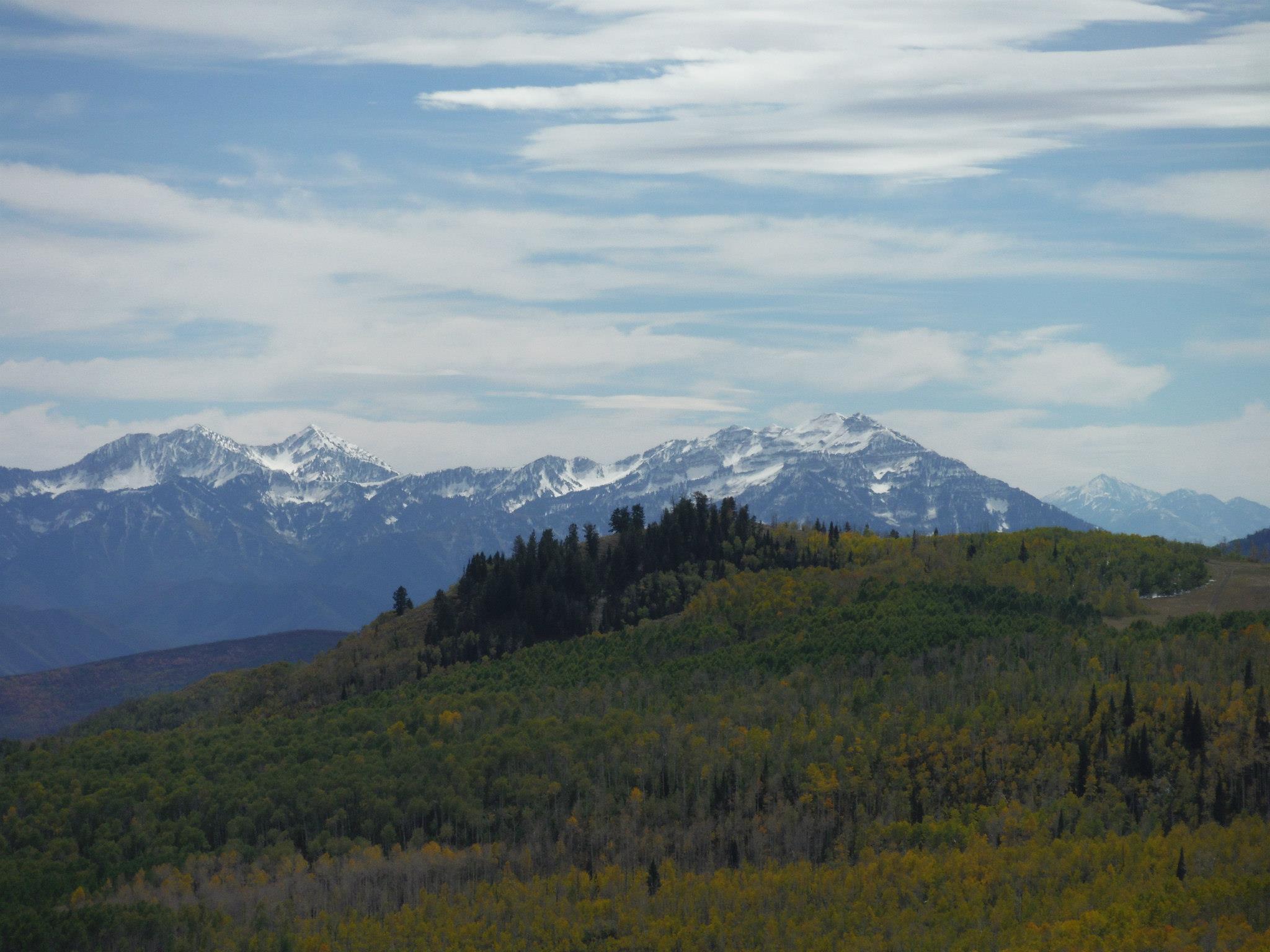
The edge of the Great Basin, top of the Bear River Range Courtesy & Copyright Josh Boling, PhotographerI’ve fancied a certain type of wandering lately—to grab my pack and boots and walk the lines of Utah’s political border—a trail made not of dirt and stone, but of imaginary lines of latitude and longitude. But, as of yet, I haven’t found the time or resources to do so beyond my own imagination and the 3 or 4 minutes I have with you now. Come join me in a stroll around Utah, at least the way I’ve imagined it.
Walking north out of Logan, I’ll wander through the grid-patterned neighborhoods that pepper the flanks of the Bear River Range, the still-snowy peaks that serve as sentinels over my daily commute and the adventure on which I embark now. They serve another, greater purpose, too, though. Without the Bear Rivers, the Rocky Mountains would be otherwise dissected. The snowy peaks I adore and which now pass in slow motion over my right shoulder form the only range of mountains that connect the northern and southern Rockies. Though they only measure about 70 miles in length, they provide a critical ecological thoroughfare from the south end of Cache Valley, Utah, north to Soda Springs, Idaho.
I won’t follow them that far, though. I’ll turn left (west) at the Idaho border toward the Great Basin.
I’m technically already there. We all are if we live along the Wasatch Front. And there are just a few minor ranges—the Clarkston Range, Blue Spring Hills, and the northern fingerling ridges of the Promontory Mountains—to wander across before reaching the Great Basin proper.
My favorite hidden gem of this often-overlooked portion of Utah are the Raft River Mountains. Like the mighty Uintas to the east, the Raft Rivers run East-to-West. So, despite being a stone’s throw from the Great Salt Lake, the tributaries running off their northern flanks drain not into the Great Basin and the Great Salt Lake, but north onto the Snake River Plain toward the Columbia River and, eventually, the Pacific Ocean.
The Tri Corners Landmark is a simple granite pillar sticking 3 or 4 feet out of the sand amongst wind-whipped sage brush. It’s easy to miss, but marks some interesting irregularities. Utah’s political border is not, in fact, made up of straight lines. According to cartographer Dave Cook, surveyors who created the state’s initial boundaries hastily covered ground with their crude survey instruments. They were paid by the mile, so they were more interested in finishing quickly than correcting any errors they made along the way.
The border wiggles at least four times by my calculations—one of which comprises two right angles—as it wanders across ridgelines and through the dusty draws of the basin and range mountains toward the Mojave Desert of southwest Utah.
The wrinkled topography if the Colorado Plateau Courtesy & Copyright Josh Boling, PhotographerI won’t be there for long, though. The border only runs for roughly 50 miles along the two legs of the right triangle that constitutes Utah’s allotment of the Mojave Desert before it climbs up onto the Colorado plateau. Ed Abbey famously compared the wrinkled topography of Utah, particularly his beloved canyon country of the Colorado Plateau, to the two largest of our states. “Alaska is our biggest, buggiest, boggiest state,” Abbey wrote. “Texas remains our largest unfrozen state. But mountainous Utah, if ironed out flat, would take up more space on a map than either.” Ropes, technical climbing and canyoneering gear, and a fair amount of fortitude would be required here.
The eastern border we share with Colorado is a varied expanse of high desert plateaus, rugged cliffs, out-of-place riparian zones, and a few spectacular snow-capped mountain ranges leading through some of the most beautiful and gloriously desolate places on the planet. The Book Cliffs, Dinosaur National Monument, and the La Sal Mountains come to mind.
A short walk distance-wise would require heaps of route finding across the Green River’s Flaming Gorge and along the northern toes of the Uinta Mountains. Here is perhaps the greatest of Utah’s geologic juxtapositions. Low basins adjacent the Intermountain West’s highest peaks.
A view of the high Uintas from their northern foothills Courtesy & Copyright Josh Boling, PhotographerI’ll take my first right turn at the western edge of the Uinta foothills. Here I might skip the formalities of a longitudinal walk—stick my thumb out instead, and make a bee-line for Bear Lake, Logan Canyon, and home: the walks I’ve already known for some time.
Perhaps you’re inspired now to know parts of this walk better yourself.
I’m Josh Boling, and I’m Wild About Utah!
Credits:
Imaginary Wanderings:
Photos: Courtesy and Copyright Josh Boling, Photographer
Audio: Includes audio from
Text: Josh Boling, 2020, Edith Bowen Laboratory School, Utah State University
Children enjoying Logan River as they search for insects among the dropped sediments of the Logan River. Courtesy & Copyright Shauna Leavitt, PhotographerLogan River’s geomorphology, or landform, has changed very little over the past 150 years in the mountain canyons. But where the river leaves the mountains and drops down onto Cache Valley’s floor, its geomorphology has changed dramatically.
A river’s geomorphology is how it interacts with its environment, how it changes and moves over time, how it picks up sediment and debris when its flowing fast then releases the sediments downstream where the river slows and spreads over open-flat landscapes.
Father and son enjoying a day of fishing on the reservoir behind First dam in the mouth of Logan Canyon Courtesy & Copyright Shauna Leavitt, PhotographerThe route of Logan River is noteworthy. Peter Wilcock, department head of Watershed Sciences in the Quinney College of Natural Resources explains, Logan River cuts through a large amount of the Bear River mountain range [in northeastern Utah and southeastern Idaho] and is by far the biggest drainage from the range.
The river’s size has made a mark on the mountain. When all the tributaries and springs come together, the result is the fast-flowing river with great force for erosion. If you compare Logan Canyon with other canyons coming out of the Bear River Range such as Green Canyon or Providence Canyon you can see Logan Canyon is close to 600 feet lower than all the other canyons. The volume and force of Logan River cut through the beach material that ancient Lake Bonneville left behind, the other drainages have been too small to cut through the ancient short line.
In the early 1800s, the lower part of Logan River flowed freely, meandering and spreading across the Cache Valley floor. As it entered the valley, the river would form into an alluvial fan spreading like fingers over the valley floor and meeting the natural functions of a river to transport water, sediments and nutrients.
As each decade passed an increasing number of buildings, roads and complex infrastructures were built to keep up with the growing population. And to protect this infrastructure, people attempted to restrict the movements of the river. In many places, the river was straightened or channelized even as its water was re-routed for irrigation.
The dams placed along the river and at the mouth of Logan Canyon slowed the river before it reached the valley floor. As a result, a large percentage of the sediments which would have dropped on the valley floor, are now captured behind the river’s dams and fill the reservoirs.
Frank Howe, chairman of the Logan River Task Force, explains how this impacts the river’s geomorphology, “Water released from the dams is free of deposits; the river is now “hungry” – hungry for new sediments. It’s now capable of picking up large amounts of sediments which causes erosion problems miles below the dams.”
The Logan River Task Force, consisting of representatives from Utah State University, Logan City, Cache County, State and Federal Agencies, six non-profit organizations, corporations and interested citizens came together to find solutions to the erosion problem and other river issues. To address these issues, they prepared a “long-term plan for the Logan River to balance ecological and social values and capture what Cache Valley community wants the river to become. “
Rivers, by nature, are dynamic. They move back and forth especially where the slope is gentle. Over time, this meandering movement delivers fine sediments, across the river’s floodplains creating rich soils diverse in vegetation and wildlife. By changing the river’s geomorphology, we’ve altered the rivers dynamics, as well as how and where it delivers sediments.
Fortunately, parts of the Logan River’s geomorphology can be restored. River restoration will be the topic of our fourth and final segment for the Logan River series on Wild About Utah.
Williams, Edmond J, Geomorphic Features and History of the Lower Part of Logan Canyon, Utah, Thesis, MS Science 2964, Donald R. Olsen Chair, Department of Geology, Utah State University, https://digitalcommons.usu.edu/etd/6644/
James P. Evans, James P. McCalpinl, David C. Holmes, Geologic Map of the Logan 7.5′ Quadrangle, Cache County, Utah, Department of Geology, Utah State University, Utah Geological Survey, Utah Department of Natural Resources, 1996, https://ugspub.nr.utah.gov/publications/misc_pubs/mp-96-1.pdf
Map of the Deltas formed in Lake Bonneville by the Logan River, U.S. Geological Survey, ca. 1890, Held in the Utah State University, Merrill-Cazier Library, Special Collections and Archives https://digital.lib.usu.edu/digital/collection/Bear/id/109/
Flicker, Courtesy PixabayThere are some days that I just don’t have it in me to get outside. Maybe it’s the winter blues; maybe it’s exhaustion from a full day’s work. Either way, there are days where all I want to do is sit in the shelter of my home next to the heat ducts, or under the shade of a porch, and just exhale for hours. Sometimes, getting into the thick or exploring one of the many unmapped nooks of Utah’s majesty just isn’t happening.
I used to feel bad about this. I have but one life, one short blip of time upon this earth, I should be making use of every second. Whether it’s laboring on an overdue chore, or out testing my grit in harmony with Utah’s character, I need to be doing or I am dying; wasting the one life I am given.
The answer for me was to find a way to appreciate and give in such a way that allows me great joy and relaxation, yet fulfills that higher narrative which only the world beyond human influence can provide. My answer was watching birds at my small backyard bird feeder.
While it may not sound as exciting as fording a river while carrying my dog, or submitting a mountain that still holds on to deep winter snows (again with my dog), it gives me a chance to still learn about the cut of my jib, to see what character I’m made of, and to see my place in the world, in creation, and in life.
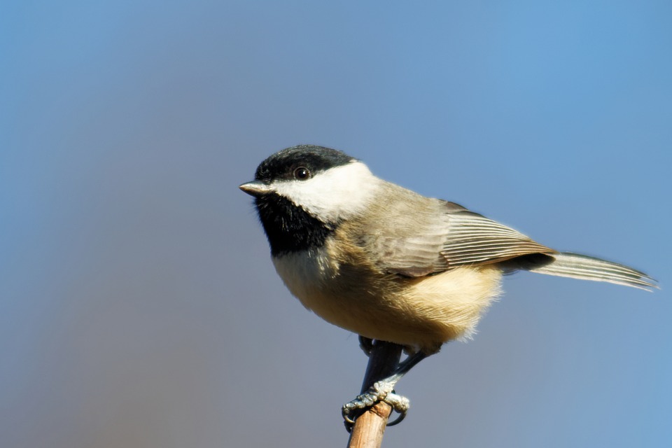
Chickadee Courtesy edbo23, photographer and PixabayI test my grit upon the stillness of my mind when cheerful chickadees begin to see me as a part of the scenery and perch ever closer and closer to the branches above me, or my honest acceptance when rackets of starlings come to steal the suet left out in hope of a Stellar’s jay or lost mountain bluebird, or my reflection on where my body will one day go as scraps from my last hunt are eaten by the local neighborhood magpie clan.
This is an activity I have dubbed Bird TV for those who will often find my attention turn suddenly from conversation with them to quickly confirming the flicker drumming on the feeder’s home tree marking its stake. Through the lessons of my wild neighbors and in my observation of them, I can still hold true to myself in seeking to commune with the real world daily. By watching Bird TV, I can learn the calls of different species, notice when they change with the food supply or weather, and reflect upon my place within this world and within this life, no narration but the sounds of the real world, alive and vibrant in front of me.
So when you don’t have the energy or time to be upon the land from which has given life to your family, our nation, and all species, consider setting out sunflower seeds, nuts, raw meat, or even jams for the birds. Set them someplace you can catch yourself noticing who’s visiting out of the corner of your eye through a window at any moment, and if another human asks as to why you’re being distracted by a what’s outside and not by the usual glowing rectangle, just let them know that it’s Bird TV. Invite them to watch too, and catch them up on what’s been going on in the world. Hopefully then they’ll learn to tune in too.
I’m Patrick Kelly and I’m Wild About Utah.
Credits:
Images: Image Courtesy & Copyright Patrick Kelly, Photographer, all rights reserved
Audio: Contains audio Courtesy & Copyright Kevin Colver
Text: Patrick Kelly, Director of Education, Stokes Nature Center, https://logannature.org
Included Links: Lyle Bingham, Webmaster, WildAboutUtah.org