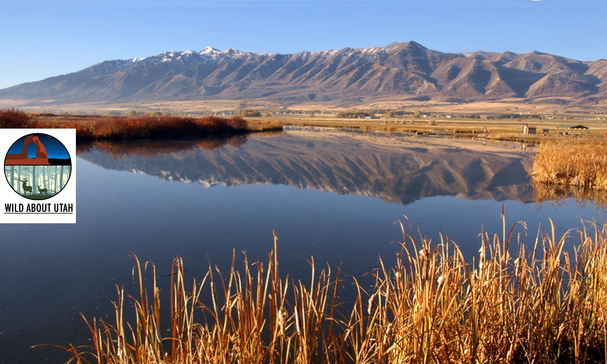
Over fifteen thousand years ago, the glacially fed Logan River was flowing into Lake Bonneville which covered most of the NW quadrant of the state and completely filled Utah’s Cache Valley.
The river met the ancient Lake Bonneville some distance up Logan Canyon so it was much shorter. Animals that lived along the river included saber-toothed cats, woolly mammoths and giant ground sloths.
About ten thousand years later, after Lake Bonneville had disappeared, the Logan River meandered across the old lake bed and the Shoshone Native American tribe made Cache Valley their home.
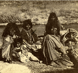
The Shoshone burned the valley frequently to drive the Bison and provide better forage for their horses. This impacted the vegetation across the valley and along the river. Instead of large stands of tall trees, the river was lined with shrubs which responded better to fire, hence the valley’s first name Willow Valley.
In the early 1800s trappers arrived in the valley.
Michel Bourdon was one of the earliest trappers to see Cache Valley around 1818. The river was, for a short time, named after him. A few years later, Ephraim Logan arrived in Cache Valley. He and many other trappers attended the Rocky Mountain Rendezvous along the Bourdon River in 1826. Shortly thereafter, Logan died during one of his outings and the area’s trappers decided to rename the river Logan, in his honor.
Trapping for the fur industry severely impacted the beaver population and the Logan River. The dam building beavers were almost trapped to extinction because of the European fashion demand. Luckily, fashion trends changed before beaver were extinct. However, the virtual elimination of beavers fundamentally changed the character of the Logan River to this day.
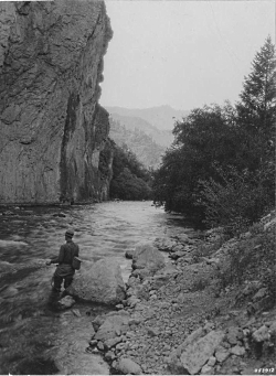
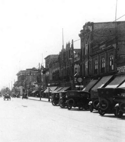
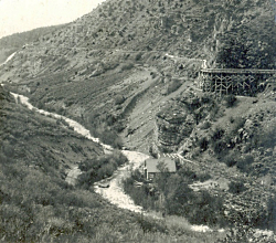
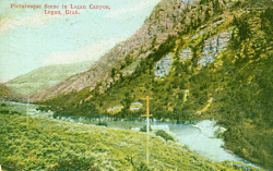
Courtesy Logan Library
We hope you’ll join us as we learn more interesting facts about Logan River.
This is Shauna Leavitt and I’m wild about Utah.
Credits:
Photos: Courtesy & Copyright ©
Audio: Courtesy & Copyright © Friend Weller, Utah Public Radio
Text: Shauna Leavitt, Utah Cooperative Fish and Wildlife Research Unit, Quinney College of Natural Resources, Utah State University
Co-Authored by: Frank Howe, chairman of the Logan River Task Force, adjunct associate professor, and university liaison for Utah Division of Wildlife Resources.
Sources & Additional Reading
Geologic Map of the Logan 7.5′ Quadrangle, Cache County, Utah, Utah Geological Survey, 1996, https://ugspub.nr.utah.gov/publications/misc_pubs/mp-96-1.pdf
Williams, Stewart J. Lake Bonneville: Geology of Southern Cache Valley, Utah, Geological Survey Professional Paper 257-C, US Department of the Interior, 1962, https://pubs.usgs.gov/pp/0257c/report.pdf
Biek, Bob; Willis, Grant; Ehler, Buck; Utah’s Glacial Geology, Utah Geological Survey, September 2010, https://geology.utah.gov/map-pub/survey-notes/utahs-glacial-geology/
Hylland, Rebecca, What are Igneous, Sedimentary & Metamorphic Rocks?, Glad You Asked, Utah Geological Survey, https://geology.utah.gov/map-pub/survey-notes/glad-you-asked/igneous-sedimentary-metamorphic-rocks/
