Courtesy & Copyright Brian W. Ferguson, Photographer

Courtesy & Copyright Joseph Kozlowski, Photographer
 Perfectly Camouflaged Pair
Courtesy & Copyright Joseph Kozlowski, Photographer
 Ready for Takeoff
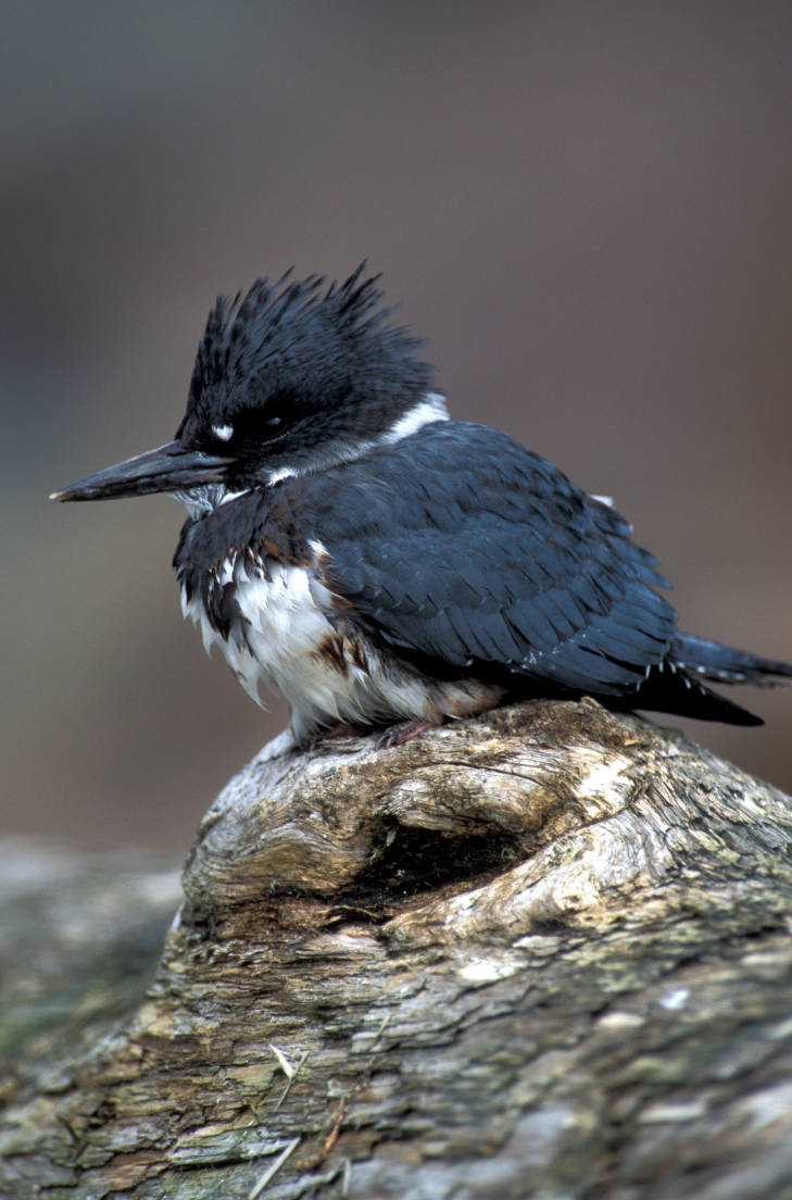
Courtesy & Copyright Joseph Kozlowski, Photographer
 Game of Tag
Courtesy & Copyright Joseph Kozlowski, PhotographerMy back yard abuts the Logan River as it gently meanders through Logan, UT and my two Labrador Retrievers and I spend many sunny hours sitting in a lawn chair by its banks, enjoying the sound of water and wildlife that call this riverway home. Along with the typical presence of the Black-Capped Chickadees, Belted Kingfishers, American Robins, and Mourning Doves, the stunning green-headed Mallard Duck is a daily companion; one I have grown quite fond of. Often moving in pairs, these boisterous ducks go up and down the river. Sometimes they are flying, one way or the other, wings gliding but six inches off the top of the water. My wet tongued friends are always first to alert me of the flying passers when their heads pop up and ears prick alert. It seems like a dance for the ducks, as one launches from the water for no apparent reason, luring the others to follow. They fly but 50 yards up or down and raucously splash back into the water. No doubt, it seems that a hen is always leading the charge with one, or multiple, green heads following her around. Other times these ducks are bobbling along on the water this way or that. On their way downstream, they seem to stay in the middle and just bounce in the current like a bobber bobs on windy ripples. But on their way upstream, the perfectly camouflaged birds blend into the twigs and boulders on the bank as they pick their way along the side eddies and dabble as they go, heads down and butts erect, foraging for any aquatic insect or vegetation they may find nestled in the stones and debris along the riverbed.
These ducks don’t just stay in the waterway, and often frequent the yards along the river. When on land, these Mallards engage in a game of tag that seems both exhausting and exciting. The drakes seem to chase anything that comes their way, whether it is another drake or a hen. With obvious intentions, the game seems to escalate in the late winter/early spring months as the greenheads become vehemently passionate. These courtship rituals are quite a fascinating site to behold.
So thank you Mallards, for my time by the river just wouldn’t be the same without you to keep me company, and to stir observation and reflection.
This is Dr. Joseph Kozlowski, and I am Wild about Utah!
Credits:
Images: Fall Migration at the Bear River Migratory Bird Refuge-Courtesy & Copyright Brian W. Ferguson, Photographer, Used by Permission
All other images, as marked, Courtesy & Copyright Joseph Kozlowski, Photographer
Audio: Courtesy & © Friend Weller, https://upr.org/, Kevin Colver https://wildstore.wildsanctuary.com/collections/special-collections and J. Chase and K.W. Baldwin. https://upr.org/
Text: Joseph Kozlowski, Edith Bowen Laboratory School, Utah State University https://edithbowen.usu.edu/
Additional Reading Links: Joseph Kozlowski & Lyle Bingham
Additional Reading:
Joseph (Joey) Kozlowski’s pieces on Wild About Utah: https://wildaboututah.org/author/joseph-kowlowski/
Mallard, Ducks Unlimited, https://www.ducks.org/hunting/waterfowl-id/mallard
Mallard Overview, All About Birds, Cornell Lab of Ornithology, https://www.allaboutbirds.org/guide/Mallard/overview
Bear River Migratory Bird Refuge, US Fish & Wildlife Service, US Department of the Interior, https://www.fws.gov/refuge/bear-river-migratory-bird
About Logan, Logan City, UT, https://www.loganutah.org/visitors/about_logan/index.php
Leavitt, Shauna, The Ecology in and around the Logan River, Wild About Utah, December 2, 2018, https://wildaboututah.org/the-ecology-in-and-around-the-logan-river/