Courtesy & Copyright Eric Newell

Courtesy & Copyright Eric Newell
 Nate pulls canoe on shore
Courtesy & Copyright Eric Newell
 Nate takes a break
Courtesy & Copyright Eric Newell
 Nate Newell with Eric Newell providing rudder
Courtesy & Copyright Eric Newell
 Portaging Path
Courtesy & Copyright Eric Newell
 Eric and Nate Newell portage canoe
Courtesy & Copyright Eric Newell
 Portaging the Canoe & Contents
Courtesy & Copyright Eric Newell
 Eric portaging the Canoe
Courtesy & Copyright Eric Newell
 Nate in Front
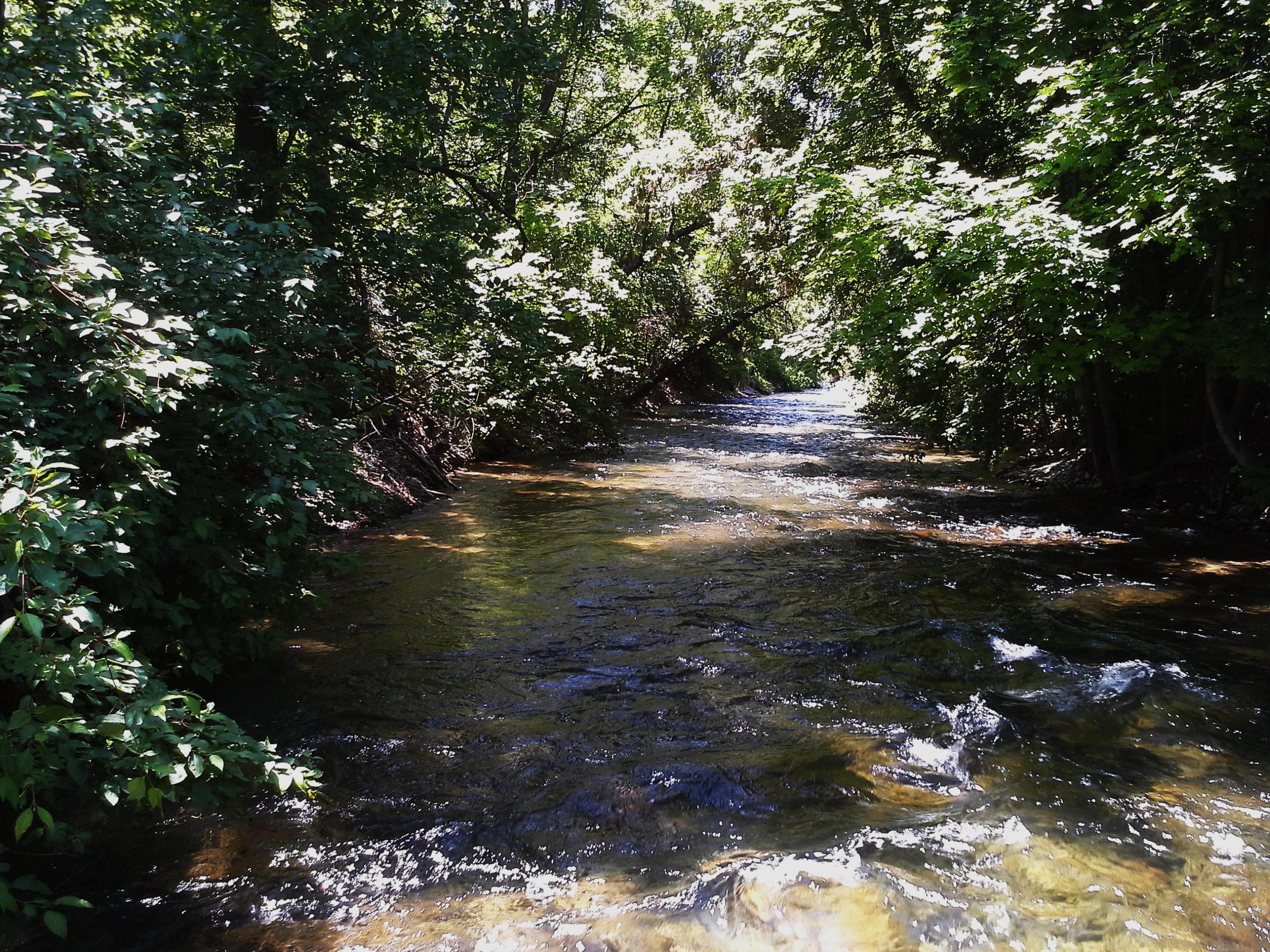
Courtesy & Copyright Eric NewellMinnesota, in the Dakota language (mnisota or mní sóta) translates to “sky-tinted water.”
A year ago, my alarm blared in the pitch-darkness of the bunkhouse at Packsack Canoe Trips on the edge of the Boundary Waters Canoe Area Wilderness.
5 AM comes fast.
I turned off the alarm, swung my legs out of my sleeping bag, and planted my bare feet on the cold plywood floor. I turned on the light. My adult son, Nate, squinted at me from the adjacent bunk. Flashing a groggy grin, he muttered, “That was a short night.”
The day before we drove from Minneapolis to Ely, Minnesota. After a late start and a dinner stop, we drove the last couple hours in the dark, down State Highway 1—the Voyageur Highway—a narrow two-lane strip of asphalt, with no shoulder, and crowded in on either side by endless forests.
Our forecast was for highs in the 40’s, a stiff wind, and scattered rain showers. If I didn’t live 1400 miles away, I would have been happy to wait to paddle for another day, but this was the window of time we had. And, as the Eagles sang so profoundly, “We may lose and we may win, but we may never be here again.”
Most canoe trips into the Boundary Waters are days to weeks long, but you can get a good sampling in a long day on the water.
By 7 AM we were at the Fall Lake boat ramp where our rented Kevlar canoe was waiting for us, as promised. All our good paddling gear was back in Utah, so we placed our day packs in garbage bags to keep them dry, and pushed off into a headwind, which also meant no mosquitos.
Traditionally the homelands of the Anishinaabe people—also known as the Ojibwe or Chippewa, the Boundary Waters Canoe Area Wilderness includes more than 1,000 interconnected lakes, extends for 150 miles along the US/Canadian border, and adjoins Canada’s Quetico Provincial Park. Combined with Voyageur National Park, the three areas create nearly 2.5 million acres of internationally protected land, lakes, forests, and waterways that connect to Hudson Bay and the Arctic Ocean. In April, a twenty-year mining ban in the vicinity was overturned that poses a risk to the pristine waters.
The Boundary Waters is the most visited Wilderness Area in the United States, but not on a day like this. Nate and I zipped our jackets up, put our heads down, and paddled towards an island ahead that provided some refuge from the wind and a chance to rest. We continued picking our route this way, finding the sheltered coves and shorelines when possible and powering into the wind when we had to.
We portaged Newton Falls in a drizzle, then worked our way across Newton Lake, and portaged Pipestone Falls to Pipestone Bay on Basswood Lake. We paddled to an obscure portage route that led us to Azion Lake—a small lake 150 vertical feet above Basswood Lake. We ate lunch on the shore in light rain. The wind died down and we paddled a lap around this double-lobed lake on glassy water with several loons.
For our return voyage we had a light tailwind or no wind. The portages were long enough that we were grateful we paid extra for the Kevlar canoe rental. All in all, we paddled twelve miles, made six portages (three each way), paddled on four lakes, and I plucked three ticks off my pants. Nate seemed unbothered that they liked me more than him.
Though we were a bit soggy, both of us were smiling as we finished out, just a father and son paddling in sync, moving across the dark glassy water, tinted by a gray sky overhead.
I am Eric Newell and I am wild about wild lands in Utah and beyond.
Credits:
Images: Courtesy & Copyright Eric Newell, Photographer
Featured Audio: Courtesy & Copyright J. Chase and K.W. Baldwin and Anderson, Howe, and Wakeman.
Text: Eric Newell, Edith Bowen Laboratory School, Utah State University
Additional Reading: Eric Newell
Additional Reading
Wild About Utah Pieces by Eric Newell
Boundary Waters Canoe Trips & Log Cabins In Ely, Minnesota, PackSack Canoe Trips and Log Cabins by Nicholas Ott, https://www.packsackcanoetrips.com/
Boundary Waters Canoe Area Wilderness, 2026 Explore Minnesota Tourism, MN.gov,
https://www.exploreminnesota.com/destinations/boundary-waters
Explore Boundary Waters Canoe Area, Friends of the Boundary Waters Wilderness,
https://www.friends-bwca.org/explore/
Quetico Provincial Park, Camp Quetico, Atikokan, Ontario, https://queticoprovincialpark.com/
Voyageurs National Park-Minnesota, US National Park System, US Department of the Interior, https://www.nps.gov/voya/index.htm
Save the Boundary Waters , SavetheBoundaryWaters.org, Northeastern Minnesotans for Wilderness (NMW), https://www.savetheboundarywaters.org/
Lawrence, Beatrice, Why mining in Minnesota’s Boundary Waters matters to Wisconsin, Wisconsin Public Radio, April 30, 2026, https://www.wpr.org/news/why-mining-minnesotas-boundary-waters-matters-wisconsin
Kraker, Dan, Trump ends ban on mining near the Boundary Waters, Minnesota Public Radio News, April 27, 2026, https://www.mprnews.org/story/2026/04/27/trump-ends-ban-on-mining-near-the-boundary-waters