Courtesy & © Josh Boling
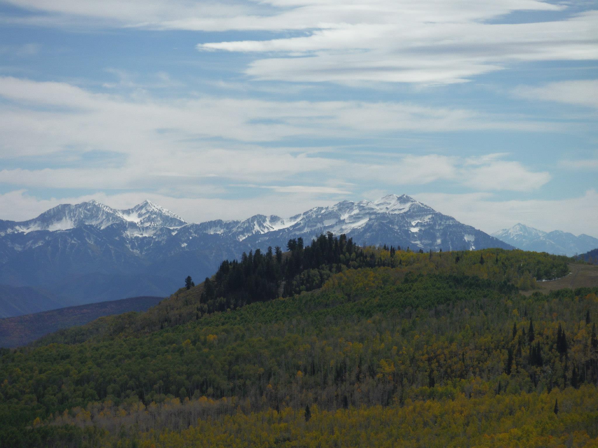
Karst topography’ refers to landscapes cleaved apart by the leaching of water through a soluble bedrock layer comprised of carbonate-rich rocks like the limestone and dolomite found throughout Utah’s mountains or the evaporate-type gypsum and rock salt layers found in Utah’s redrock country. Over time, this erosion by surface and groundwater creates pinnacles, rippling fissures, gaping sinkholes, or springs on the surface—deep caverns, plummeting vertical shafts, and winding tunnels through which entire rivers can flow below.
We floated one such river once, in complete darkness, guided only by a subtle current and the voice of our local guide. He said he was of Mayan descent, so we listened closely when he relayed stories of Chaac, the Mayan god of rain responsible for the generous flow of water through the caverns we explored. Indeed, it is within these same caverns that he dwells, we were told. Further north, in Mexico and the desert southwest, it’s Tlaloc, the goggle-eyed Aztecan deity that controls the rain. He, too, is supposed to reside within the body of the earth.

Courtesy & © Josh Boling
Main Drain is Utah’s deepest and the nation’s 11th-deepest cave. It’s also wildly difficult and dangerous to navigate, yet absolutely critical to explore for the sake of furthering scientific understanding. I talked to Larry Spangler of the US Geological Survey in Salt Lake City about the significance of karst landscapes like Main Drain. “The caves that are developed in these terrains,” Spangler says, “are…valuable sources of information in regard to changes in climate and landscape evolution over time.” The chemistries of these caves are unique to their environment, and analysis of mineral deposits within the caves can provide insights into how average surface temperatures have changed over time and how wet or dry the landscape above was in any given period. Karst caves can reveal climate data for specific locales that may help us predict how a warming planet might affect our local ecosystems.
The water that flows through Main Drain and other cave systems like it in the form of snowmelt and subterranean streams carves its way vertically and horizontally through layers of bedrock hundreds of millions of years old—providing researchers a literal inside look at the formation of mountains. And as a map of these subterranean watersheds begins to come together, we gain a better understanding of the hydrology of an area and its effects on water quality.
When I spoke to Spangler, he wanted to make it very clear just how sensitive these karst landscapes are to surface activities, for the health of ecosystems and the integrity of watersheds, of course, but also for the health of human communities. The US Geological Survey estimates that as much as a quarter of the world’s population depends on karst landscapes for their water supply. The city of Logan, where my family and I live, sources its water from one of the larger karst springs in the area. The people are drinking straight from the mountain.
Rivers run beneath these hills, and through us as well.
I’m Josh Boling, and I’m Wild About Utah!
Credits:
Photos: Courtesy & Copyright Josh Boling, Photographer
Sound: Courtesy & Copyright Josh Boling
Text: Josh Boling, Edith Bowen Laboratory School, Utah State University https://edithbowen.usu.edu/
Additional Reading Links: Josh Boling
Sources & Additional Reading
| Author’s note: Caves and other karst features are inherently dangerous. You should never enter a cave or other karst feature without the appropriate training, gear, and an experienced person(s) to accompany you. |
Shurtz, David K & Shurtz, Ryan K, The Discovery, Exploration of, and Sufferings withing Utah’s Main Drain Cave, Utah Grottos, April 2005 https://www.jonjasper.com/TonyGrove/MainDrainCave-NSSApril2005.pdf
Haydock, Adam, Cave Dive Operations in Main Drain Cave, Utah, https://www.even-further.com/dive-expedition-in-main-drain-utah
Caving Main Drain Cave, Logan Canyon, Utah, Outdoor Activities, The Dye Clan, August 31, 2013, https://dyeclan.com/outdooractivities/caving/?id=334
Main Drain Cave, Utah Caving, February 14, 2014, https://utahcaving.wordpress.com/2014/02/14/main-drain-cave/
Karst Topography Paper Model (Learning Activity, Grade Level: 9-12), National Park Service, US Department of the Interior, https://www.nps.gov/subjects/caves/karst-topography-model.htm
Karst Topography Paper Model Background
Soto, Limaris R.(modified by), After: Alpha, Tau Rho, Galloway, John P, and Tinsley III, John C., Karst (U.S. Geological Survey Open-file Report 97-536-A), Topography Paper Model, U.S. Department of Interior, U.S. Geological Survey, National Park Service, https://www.nps.gov/subjects/caves/upload/Karst-Topography-Model-_Written-Section_508c.pdf (formerly: https://www.nps.gov/subjects/caves/upload/Final-Karst-Topography-Model-_Written-Section_5-14-2014.pdf)
Weary, David J. and Doctor, Daniel H., Karst in the United States: A Digital Map Compilation and Database, Open-File Report 2014–1156, U.S. Geological Survey(USGS), https://pubs.usgs.gov/of/2014/1156/pdf/of2014-1156.pdf
Lawrence, Lawrence E., Delineation of Recharge Areas for Karst Springs in Logan Canyon, Bear River Range, Northern Utah, U.S. Geological Survey/The Pennsylvania State University, https://citeseerx.ist.psu.edu/viewdoc/download?doi=10.1.1.543.5904&rep=rep1&type=pdf
Francis, George Gregory, Stratigraphy and Environmental Analysis of the Swan Peak Formation and Eureka Quartzite, Northern Utah, (1972). All Graduate Theses and Dissertations. 1684 https://digitalcommons.usu.edu/cgi/viewcontent.cgi?article=2683&context=etd
Morgan, Susan K., Geologic Tours of Northern Utah, Miscellaneous Publications, 92-1, Utah Geological Survey, Adivision of Utah Department of Natural Resources, (1992), https://ugspub.nr.utah.gov/publications/misc_pubs/mp-92-1.pdf
Connecting Caves, Karst Landscapes and Climate Around the World, Circle of Blue, January 18, 2010, https://www.circleofblue.org/2010/world/connecting-caves-karst-landscapes-and-climate-around-the-world/
Bahr, Kirsten, “Structural and Lithological Influences on the Tony Grove Alpine Karst System, Bear River Range, North Central Utah” (2016). All Graduate Theses and Dissertations. 5015. https://digitalcommons.usu.edu/cgi/viewcontent.cgi?article=6053&context=etd