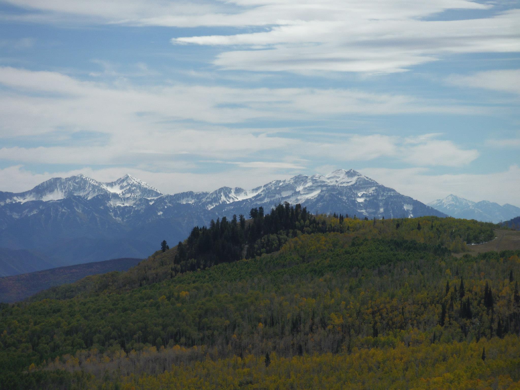
Courtesy & Copyright © Frank Howe, Photographer
Preserving the Social and Ecological Values of a Utah River
This led to the formation of the Logan River Task Force; this group of Utah State University scientists and other experts in riparian and river restoration worked with Logan City and Bio-West, Inc. (a local consulting firm) to develop a long-term restoration plan that prevented flooding while balancing both social and ecological values of the river.

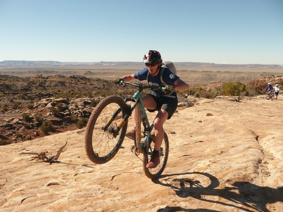
Courtesy & Copyright © Frank Howe, Photographer
The Task Force’s first objective was to answer the question, “Why do people value the river?”

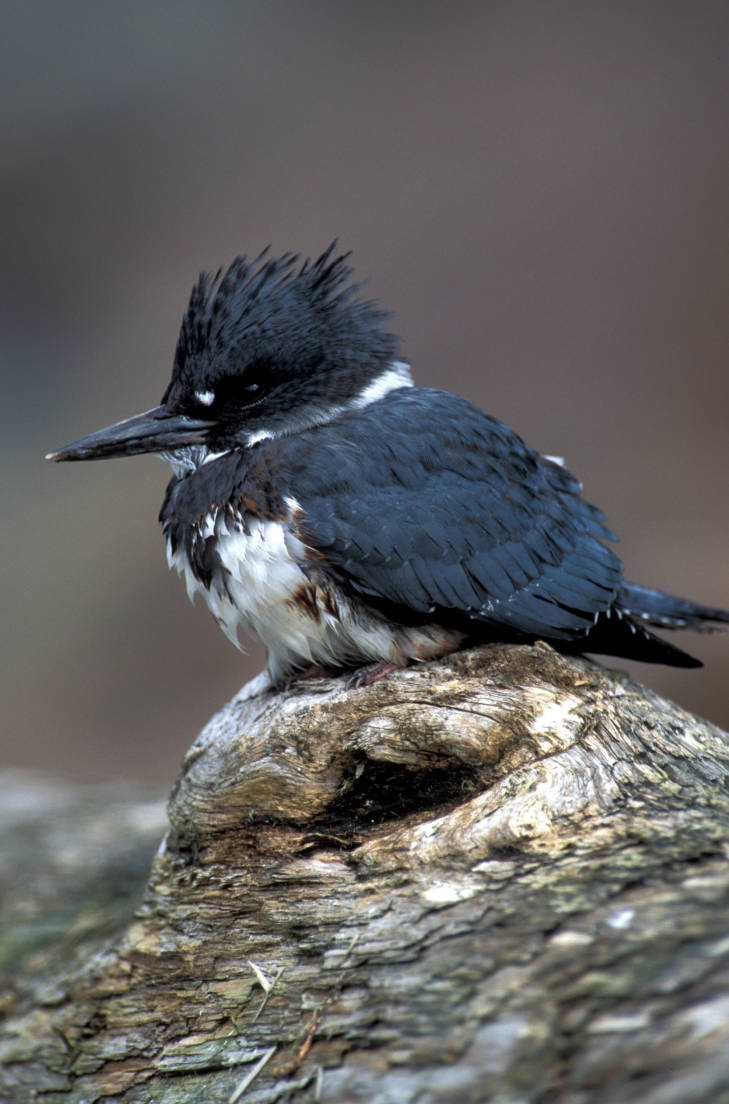
Courtesy & Copyright © Frank Howe, Photographer
Logan City Mayor Holly Daines said, “The Logan River Task Force has been really helpful to the city in working on river restoration! Quality of life is such an important part of our community. By expanding trails, and restoring the river wherever possible, we’re [creating] great places where we can enjoy [a] little slice of nature.”

Courtesy & Copyright © Frank Howe, Photographer
The Stewart Park Project demonstrated that, instead of building walls, if the owner allows occasion flooding onto lower “terraced” areas which are planted with native vegetation, it allows the river to grow a little wider and this, along with the friction from the vegetation, slows the flow and dissipates the energy of the flood through the entire [river] system.

Courtesy & Copyright © Frank Howe, Photographer
This approach of balancing social and ecological values in river restoration used by the Logan River Task Force can be applied to rivers throughout Utah.
This is Shauna Leavitt and I’m wild about Utah.
Preserving the Social and Ecological Values of a Utah River-Credits:
Preserving the Social and Ecological Values of a Utah River
Photos: Courtesy & Copyright © Frank Howe, USU QCNR/Utah DWR
Audio: Courtesy & Copyright © Friend Weller, Utah Public Radio
Text: Shauna Leavitt, Utah Cooperative Fish and Wildlife Research Unit, Quinney College of Natural Resources, Utah State University
Co-Authored by: Frank Howe, chairman of the Logan River Task Force, adjunct associate professor, and university liaison for Utah Division of Wildlife Resources.
Preserving the Social and Ecological Values of a Utah River-Additional Reading
Leavitt, Shauna, Logan River’s Evolving Geomorphology, Wild About Utah, March 2, 2019, https://wildaboututah.org/logan-rivers-evolving-geomorphology/
Leavitt, Shauna, The Ecology in and around the Logan River, Wild About Utah, December 2, 2019, https://wildaboututah.org/the-ecology-in-and-around-the-logan-river/
Leavitt, Shauna, A Short History of the Logan River, Wild About Utah, November 4, 2019, https://wildaboututah.org/short-history-of-logan-river/