in flower - Photo Courtesy and Copyright Dr. Leila Shultz")
Following several days of cold and snowy weather in early May, my friend and USU graduate student Ian Keller and I approached the Mormon Handcart outpost near Evanston Wyoming on Deseret Land & Livestock Company land. We braved the elements to deliver a seminar to 8 missionary couples on Mormon pioneer use of wild plants as they struggled toward the Promised Land of Salt Lake Valley.
Ian’s graduate work encompasses this topic. Some of what follows is from his good work combined with others later mentioned. And we must not overlook the origins of this knowledge which came from the native peoples, acquired through thousands of years of trial and error.
(I must add that following our seminar we feasted on a variety of sumptuous foods the missionaries had prepared from pioneer recipes!)
I’ll begin with a remarkable plant big sage brush or Artemisia tridentate, which was their constant companion for much of the journey.
Medicinal uses included treatment for headache, diarrhea, sore throat, vomiting and even bullet wounds. Tea made from leaves was used for hair tonic and a poultice for bee stings.
“Brighan Young advised gathering and drying it for winter medicinal purposes. From a pioneer journal- “We washed our hair in sage tea, sage tea is good to cure night sweats”. And from Phil Robinson, 1883- “Someday perhaps a fortune will be made of it, but at present its chief value seems to be as a moral discipline to the settler and as cover for the sage hen.”

Copyright © 2002 Roger Banner, Intermountain Herbarium, USU
For Dandelion Salad- “Gather the tender young plants of the dandelion. Wash and cut up into a salad. Serve with dressing oil, or just with salt and pepper.”— Ilene Kingsbury.
And from Larry A. Sagers, USU Extension Horticulture Specialist in the Thanksgiving Point Office-
Thistles that we now curse were once highly prized by the pioneers. One early pioneer wrote, “I used to eat thistle stalks until my stomach would be as full as a cow’s.”
The young leaves of stinging nettles were also used as greens. The cooking destroyed the irritating parts that affect the skin.
Camas bulbs for which Kamas, Utah, was named, were also used for food. The bulbs were eaten or a crude molasses was made from boiling the bulbs. Unfortunately, if too many of the bulbs were consumed they could cause severe illness. The bulbs also grow in proximity with death camas, so this particular plant involves certain risks to the user.
, Photo Courtesy NPS, Kelly Manktelow, Photographer")
(Cirsium altissimum)
Aster family (Asteraceae) in flower
Photo Courtesy NPS,
Kelly Manktelow, Photographer
Gooseberries, strawberries, raspberries and currants grew in the mountains and were highly prized. Chokecherries were a favorite for preserves and jellies.
A recent book by Brock Cheney “Plain but Wholesome: Foodways of the Mormon Pioneers.” is a delightful book with many pioneer plant stories and recipes, as is Dr. Wesley P. Larsen’s “Field Folio of Indian and Pioneer Medicinal Plants”.
Perhaps your Pioneer Day’s activities will include preparing a recipe from one of these sources to garnish your picnic! And let us include the plants which garnished our pioneers with flavor if not survival during their epic trek!
Jack Greene, Smithfield Utah
Credits:
Pictures: Courtesy and Copyright Dr. Leila Shultz
Copyright © 2002 Roger Banner, Intermountain Herbarium, USU
Courtesy NPS,
Kelly Manktelow, Photographer
Text: Jack Greene, Bridgerland Audubon Society
Additional Reading:
Brock Cheney, Plain but Wholesome: Foodways of the Mormon Pioneers, https://www.amazon.com/Plain-but-Wholesome-Foodways-Pioneers/dp/1607812088
Wesley P. Larsen, Field Folio of Indian and Pioneer Medicinal Plants,
https://www.amazon.com/Field-Indian-Pioneer-Medicinal-Plants/dp/B007HFR7A2

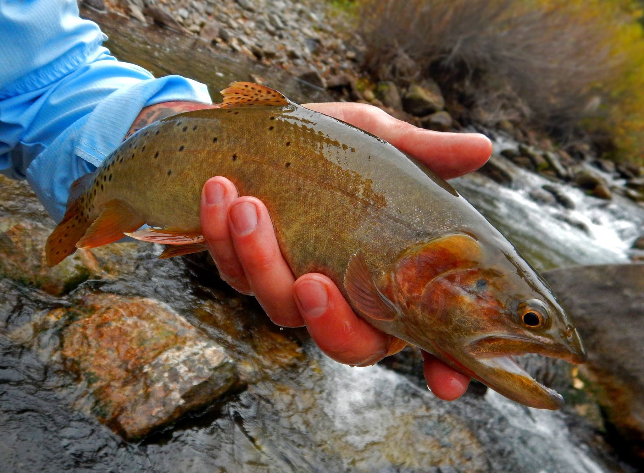 Cutthroat Trout on the Logan River, Copyright (c) Chadd VanZanten, Photographer