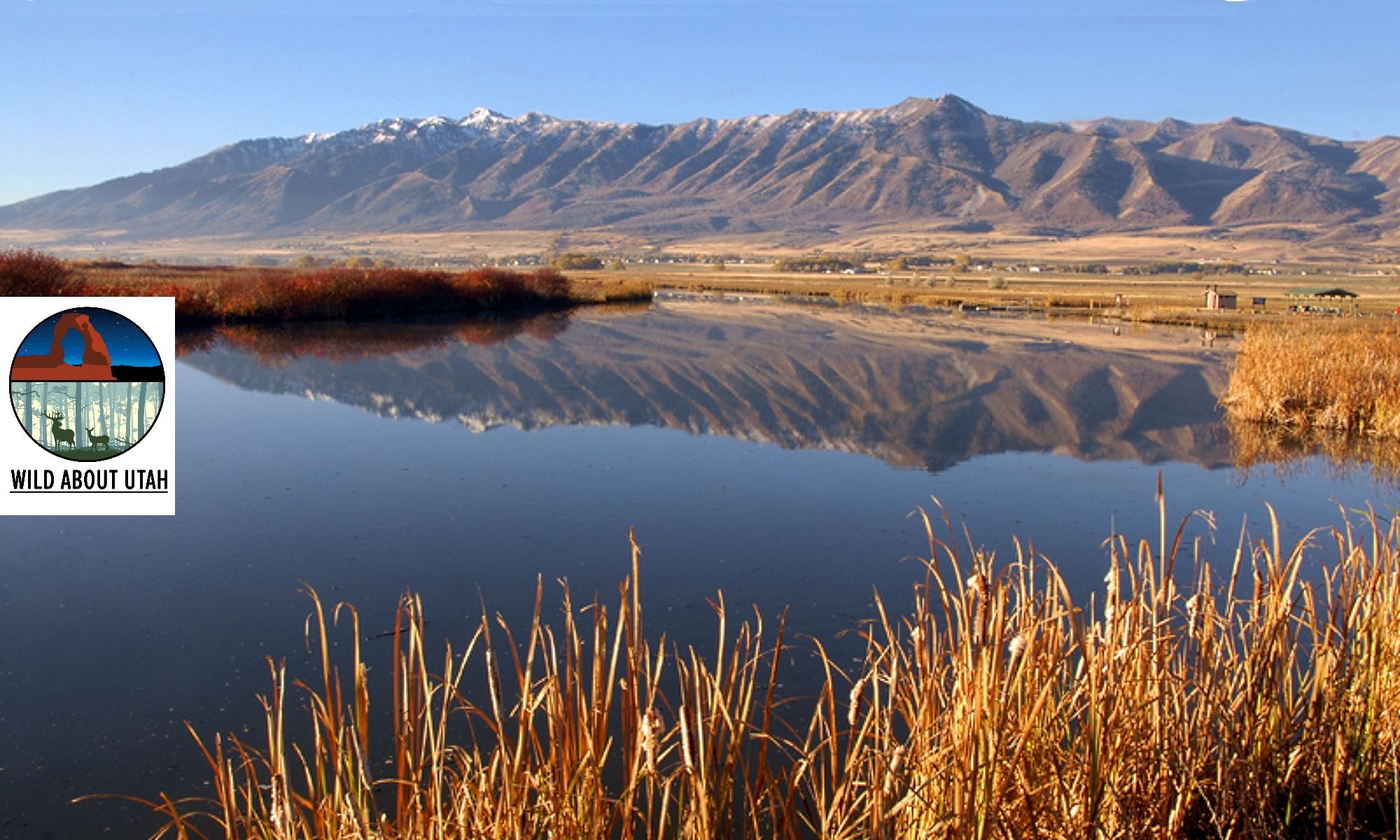
Courtesy & Copyright Chris Brown
PacifiCorp is a mining company that provides electrical utility to one million customers in Utah, Idaho and Wyoming via Rocky Mountain Power. When it submitted the Cottonwood-Wilberg mine reclamation proposal, it claimed a sedimentation pond which catches run off, would not be needed. OGM was skeptical and initially rejected the plan.
Dennis Oakley, senior mine engineer at PacifiCorp said, “We explored the state and federal regulations and found there was some latitude if we could show we were using the best technology currently available.”
Tom Thompson, GIS Manager at OGM said, “Technology has come a long way, if we leverage it correctly we could do a lot better for our environment.”
The method PacifiCorp claimed as the best technology available was deep gouging, or “pocking”; a technique used to prevent erosion and stimulate vegetation growth on steep sloped landscapes.
To use pocking, the natural canyon slopes are first restored, then pocks three feet in diameter and one-and-a-half feet deep are dug into the slopes next to each other in a random and discontinuous fashion. The landscape soon resembles the surface of a golf ball with thousands of dimples.
Green dyed hydro-mulching, which contains native seeds, moisture and a protective layer of mulch is then sprayed over the entire pocked landscape.
When it rains the pocks capture the water, forming mini ponds. The moisture is slowly absorbed into the ground, preventing run off and giving the seeds a moist environment for growth.
Each year the sides of the pocks slowly erode into themselves, and the vegetation becomes established and spreads. Eventually the pocks fill with sediment and fade into a natural looking stable slope.
If pocking is the best technology currently available – then OGM wanted to know.
With the help of PacifiCorp, OGM set up the Cottonwood-Wilberg mine as a research site to determine the efficiency of pocking.
To add additional expertise to the research, OGM applied for Utah Legislature appropriated funds, to access to the knowledge of Doug Ramsey, the director of the Remote Sensing and GIS Laboratory, in the Quinney College of Natural Resources at Utah State University, and his graduate student Chris Brown.
Ramsey and Brown explain, The RS/GIS lab is evaluating the pocks by using drone imagery of the entire landscape to create 3D models and topographic maps that identify where the vegetation is growing, and the depth of each pock across multiple seasons and years to show if the pocks are eroding as expected.
PacifiCorp installed monitoring devices around the reclaimed site so it could measure the amount of precipitation, the vegetation growth over time, and the sediment load of the runoff above and below the disturbed areas.
Oakley explains, “It’s our theory that the sediment levels of the background runoff will be equal to, or less than the runoff at the bottom of the disturbed area.”
Ramsey visited the site in June 2019 and found vegetation was already growing in the bottom of the pocks.
Data from the site will be gathered and analyzed over the next few years. A key part of this monitoring work will be a manual describing the drone data collection and analysis methods so OGM can establish a monitoring protocol for other reclamation sites.
Keenan Storrar, hydrologist from OGM, said, “We hope this research on the pocking technique, which PacifiCorp helped develop, will be published for future operators use.”
This is Shauna Leavitt and I’m Wild About Utah.
Credits:
Photos: Courtesy & Copyright © Chris Brown
Audio: Courtesy
Text: Shauna Leavitt, Utah Cooperative Fish and Wildlife Research Unit, Quinney College of Natural Resources, Utah State University
Sources & Additional Reading
Cottonwood-Wilberg Mine, Emery County, Utah Reclamation, US Department of the Interior, https://eros.usgs.gov/doi-remote-sensing-activities/2018/osm/cottonwood-wilberg-mine-emery-county-utah-reclamation
Cottonwood-Wilberg Mine, Utah Division of Oil, Gas & Mining, Utah Department of Natural Resources, https://www.ogm.utah.gov/coal/minedetail.php?C0150019
