Courtesy & Copyright Eric Newell, Photographer
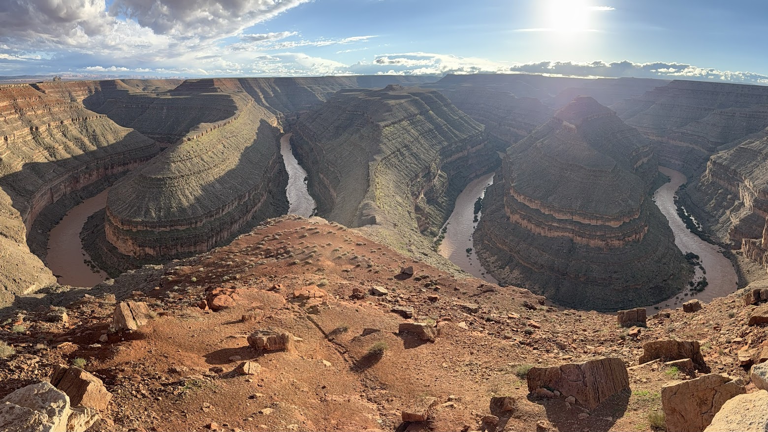
My hands loosely grip the oars. My rain jacket is zipped to my beard, and my ball cap is pulled down tightly on my head. Standing on the floor of my raft, I lean gently on the oars, pushing the raft downriver on choppy, strong current. A gentle upriver breeze pushes against my face. Random raindrops pelt my cheeks. The sounds of the river sloshing and swirling fill the air. Wet rocks glisten and every hue is enhanced.
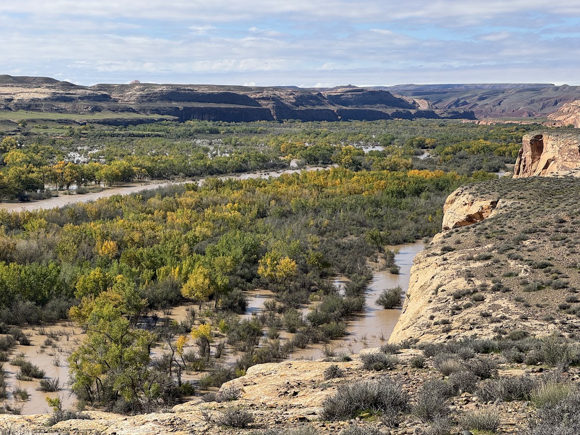
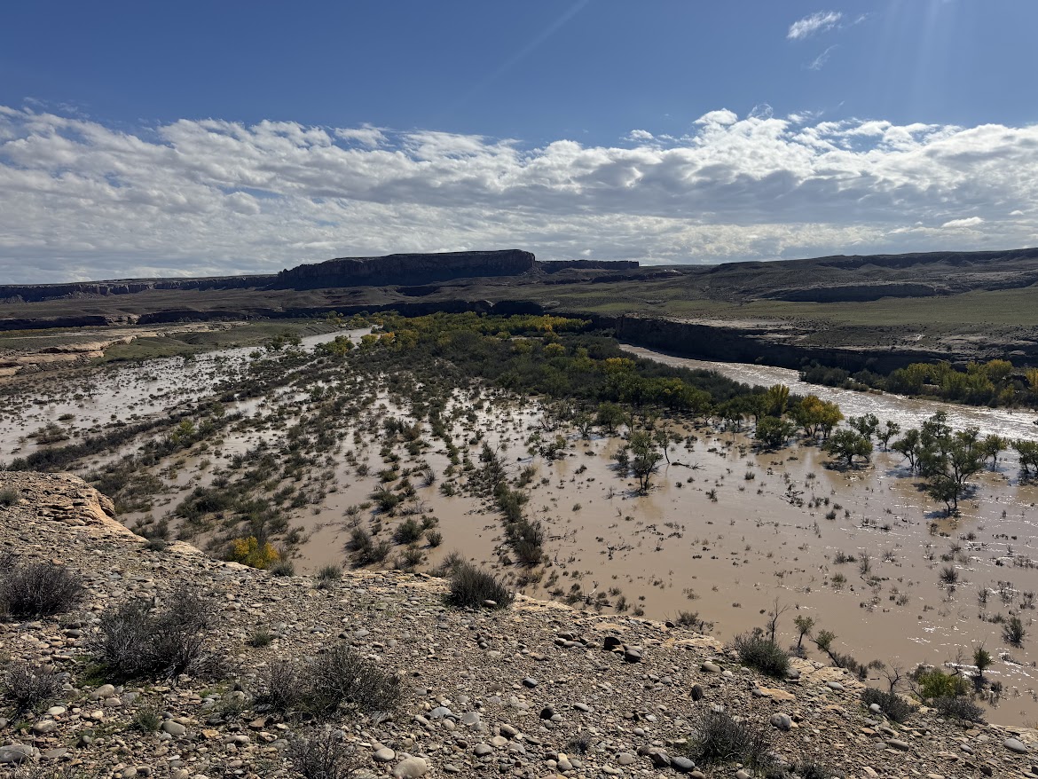
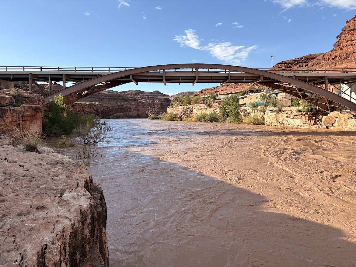
The river is swollen and running heavy with sediment from monsoon rains that have arrived both in the form of violent, lightning-charged microbursts and broad, regional storms.
Courtesy & Copyright Eric Newell, Photographer
Courtesy & Copyright Eric Newell, Photographer
Courtesy & Copyright Eric Newell, Photographer
The pages of Lisa Kearsley’s San Juan River Guide, on the deck of my raft, have turned in the breeze. I could look up the geologic periods and names of the various layers—yet again. But right now, today, just being here, lost in the wonder and awe of this canyon, is enough. In the scope of geologic time, how did I get so lucky to be in this place, on this day, in this particular storm? This moment will be lost in the ages, but it is crystalized in time for me.
An ancestral Puebloan granary, concealed beneath an overhang, catches my attention. We drift past. No one else notices. A few bends later, a bighorn ram walks the edge of a ledge above the river. It pauses and turns its massive head to watch us drift along. People and creatures have inhabited this landscape for millennia. Each of us are just passing through.
Courtesy & Copyright Anna Hart, Photographer
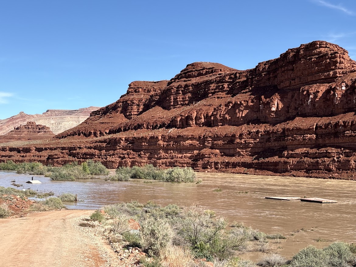
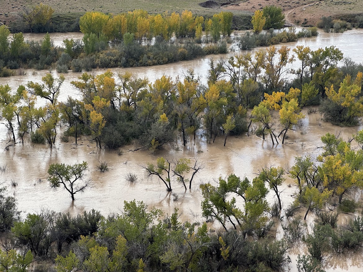
A month later, on October 23, the San Juan Country Sheriff closed the river due to extreme high water. The river had breached several sewer treatment plants upstream and local agencies were overwhelmed mitigating flood damage. On October 26, the river peaked at about 41,000 CFS—flow levels not seen since the 1970’s. The river dropped to about 5,000 CFS for a few days, then peaked again at 34,000 CFS on November 3. Two separate fifty-year flood events occurred in an eight-day span, isolating and inundating communities in three states.
Above the river, on the outside bend of the canyon near mile sixteen, century-old cottonwood tree trunks, weathered to dark gray, rest one hundred and twenty feet above the river bottom. They were once adrift.
Analysis conducted by Lynn Orchard, under the direction of Bob Webb at the University of Arizona in 1999, indicate these logs were deposited by a flood in 1911. By radiocarbon dating debris from past floods in the canyon, they calculated the 1911 flood likely produced the largest flows in the lower San Juan canyons during the past 4,000 years, with maximum flows around 150,000 CFS.
Courtesy & Copyright Eric Newell, Photographer
I am Eric Newell and I am wild about Utah and our wild rivers.
If you would like to contribute support for flood victims in and around Bluff, Utah, please consider https://bluffcommunityfoundation.org
Credits:
Images: Courtesy & Copyright Anna Hart and Copyright Eric Newell
Featured Audio: Courtesy & Copyright © Friend Weller as well as J. Chase and K.W. Baldwin
Text: Eric Newell, Edith Bowen Lab School, Utah State University, https://edithbowen.usu.edu/
Voice: Eric Newell, Edith Bowen Lab School, Utah State University, https://edithbowen.usu.edu/
Additional Reading
A comprehensive look at the flooding, Explorer Vault, https://www.youtube.com/watch?v=JmxiGbdl0mQ
San Juan River Flows Near Bluff, Utah, USGS, https://waterdata.usgs.gov/monitoring-location/USGS-09379500/#dataTypeId=continuous-00065-0&period=P30D&showFieldMeasurements=true
The 1911 Four Corners Flood: Could it happen again? KUST, Four Corners Public Radio, https://www.ksut.org/history/2023-10-01/the-1911-four-corners-flood-could-it-happen-again
Orchard, Kenneth Lynn, Paleo Flood Hydrology of the San Juan River, The University of Arizona, https://repository.arizona.edu/items/b62d9d40-aede-4d19-9fc2-e837124bf4b6